
Base Kodiak Remedial Investigation Field Mobile App
Client
Brice Environmental, Inc.; United States Coast Guard Civil Engineering Unit-Juneau
Services Provided
Developed and deployed a mobile app for staking out proposed sampling locations; provided historical data on app layers to allow field team to evaluate data gaps; allowed collection of new point, line, and polygon locations

Location
Kodiak Island, Alaska
Project Practice Areas
Civil Sites
Project Specifics
Geosyntec developed and deployed a customized off-the-shelf mobile application (app) using ESRI FieldMaps for ArcGIS to allow the field team to navigate to proposed sampling locations, review historical information contained in the project GIS, survey sampling locations, and display the new locations on a dynamic map.
Geosyntec Scope of Services
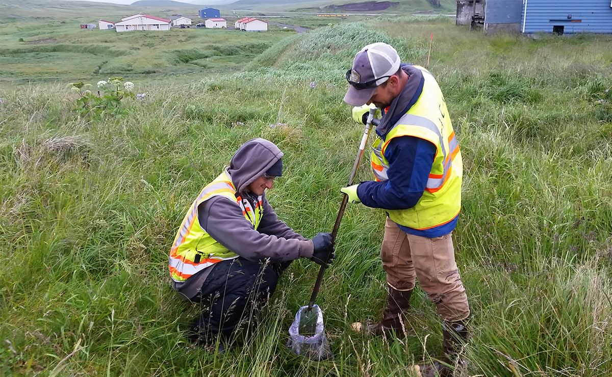
Geosyntec supported the USCG and Brice Environmental as they conducted data-gap investigations for three RCRA sites on Base Kodiak to move from the RCRA facility investigation (RFI) to the compliance monitoring strategy (CMS) phase in the RCRA cleanup process. As part of developing the data-gap work plans, Geosyntec prepared a GIS to collate historical data from each site into a comprehensive dataset. This dataset was used to identify remaining data gaps and propose sampling locations to fill them. To help Brice stake out the proposed sampling locations and make informed field decisions under changed conditions, Geosyntec prepared a mobile app from GIS for field use. The FieldMaps app was deployed on an Android tablet with current aerial imagery and used to stake out the proposed locations.
Notable Accomplishments
Before using the FieldMaps app, a Trimble handheld global navigation satellite system (GNSS) was used for stakeouts without aerial imagery provided on the screen. Because the work plan was written to fill data gaps, having the prior data pre-loaded on the map, labelled, and visible on current aerial imagery streamlined the stake-out process immensely.
Related Projects

Progress Energy Florida, now Duke Energy
Holiday, Florida, USA
Ahtna Engineering Services USACE, Alaska District
Atka Island, Alaska

USACE, Huntington District
Hinton, West Virginia

Bauer Foundation Corporation and USACE
Jacksonville, FL


