
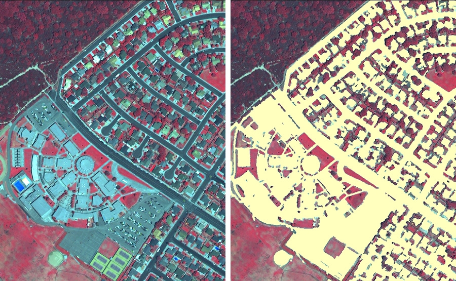
Impervious Surface Assessment Using High Resolution Satellite Imagery
The County of Santa Barbara in southern California needed to enhance its available data resources with which to manage its stormwater runoff water quality. The County felt that there were significant gaps in existing data that it needed to make long-range planning decisions.In particular, there were significant data gaps in their GIS system, such as detailed estimates of impervious cover, recent high quality multi-spectral orthophotography, etc. These data were needed in order to facilitate the implementation of stormwater best management practices, or BMPs. Ultimately, with limited funds with which to implement BMPs, the County's goal was to prioritize which areas needed attention first in terms of retrofits, new nonpoint source water quality control, etc.
