

Location
Hinton, West Virginia
Project Practice Areas
Civil Sites
Type of Facility
Dam
Project Specifics
Geosyntec built an interactive geospatial model from tabular, LiDAR, MicroStation and other data sources. This model allows USACE to design additional remediation technologies, test the impacts of new structures, and much more.
Geosyntec Scope of Services
Bluestone Dam, owned by the United States Army Corps of Engineers (USACE), began operation in 1949.
The dam is a concrete gravity structure with an overall length of 2,060 feet and a maximum height of 165 feet above the streambed. In recent years, it was discovered that Bluestone Dam would be unable to pass the Probable Maximum Flood possible at the site, which could cause failure of the dam. In 2008, a Dam Safety Action Classification (DSAC) II was assigned, indicating attention to the safety of the dam construction was urgent. As a result of the DSAC, modifications to the original design have been implemented while others are undergoing construction and/or are in design phases. Part of the work includes installation of approximately 500 high capacity rock anchors in critical monoliths. USACE identified the need for sophisticated data modeling, management and access in advance of this effort.
Geosyntec was retained by USACE, Huntington District to develop a 3-dimensional (3D) model to document the original dam construction, track the various modifications, record quality control of construction data, and demonstrate construction specifications for the dam were met. To meet this criteria, Geosyntec developed the BlueDMS. Its capabilities include a 3D MicroStation model, 3D GIS model, 2D GIS projects (web and desktop), a database constructed from project documents, and tools for data import and export.
To create the models, Geosyntec compiled a comprehensive database of anchor data, interpolated downhole survey data into 3D GIS features, mapped various elements (monoliths, grout lifts, water test zones, etc.) to 3D features, and added features to GIS and CAD models.
Notable Accomplishments
Geosyntec created a customized product that allows USACE to easily update the model as construction modifications continue. The model provides USACE with the ability to verify construction meets specification, and verify the design intent is met. The model will be a living document to aid in monitoring dam performance, maintenance, and future design efforts.
Related Projects

Brice Environmental, Inc.; United States Coast Guard Civil Engineering Unit-Juneau
Kodiak Island, Alaska

Southeast Louisiana Flood Protection Authority – East (SLFPA-E)
New Orleans, Louisiana
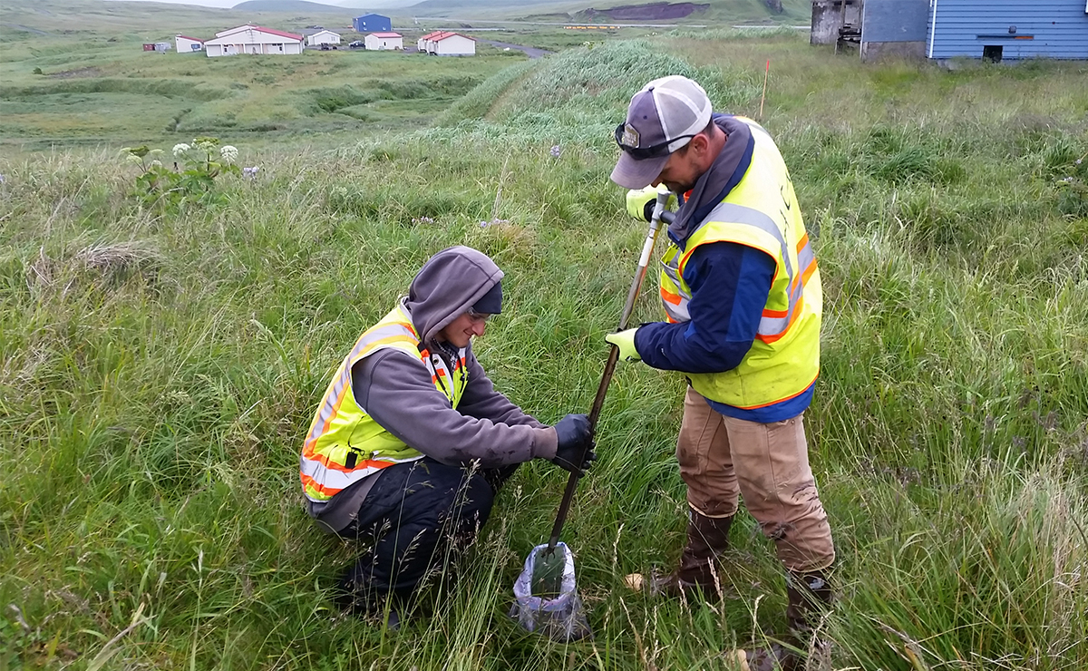
Ahtna Engineering Services USACE, Alaska District
Atka Island, Alaska

Progress Energy Florida, now Duke Energy
Holiday, Florida, USA

Bauer Foundation Corporation and USACE
Jacksonville, FL


