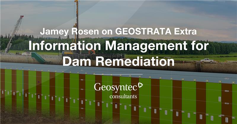
Clients managing construction projects with deep foundations and other significant geotechnical considerations need specialized support to interpret large amounts of data, quickly communicate findings, meet project specifications, and inform contractors.
Construction Information Management Systems Specifics
Geosyntec develops data science and GIS-based productivity tools that support clients as they collect, compile, manage, and present complex data—in real time. With our expertise in quality assurance/quality control, geotechnical engineering, environmental services, and water resources, we create intuitive tools (including interactive dashboards) that help contractors meet owners’ needs and make decisions while undertaking large and complex projects.
With our help, contractors access custom statistical and visual tools and applications to rapidly identify errors and make decisions based on trends and performance indicators.

We assess your project and choose strategies that address its specific needs, often incorporating the following steps:
- Evaluate conditions at your site.
- Develop data management plans.
- Track project details.
- Install and maintain instrumentation
- Analyze trends.
- Conduct data cleaning.
- Identify and address potential failure modes.
- Achieve construction quality assurance (CQA) targets.
- Generate geospatially accurate as-built drawings.
- Measure and communicate project progress.

We build holistic data management solutions that address the following data and instrumentation:
- Concrete Data, Earthwork Data, and Cutoff Wall Data
- Controlled Low Strength Material (CLSM) Data
- Drilled Shaft Data and Secant Pile Data
- Grouting Data and Ground Improvement Data
- Jean Lutz, ShapeArray, and Koden Verticality Data
- Overlap, Verticality, and Location Analyses of Barrier Wall Elements

With data encryption using tools compliant with the United States Army Corps of Engineers FTP and communication via REST services, our projects are built to deliver secure and reliable information exchange.
USACE Award for Innovation in Foundation Information Management
Geosyntec practitioners were part of a team that earned an award for innovation from the United States Army Corps of Engineers. The award recognized the Wolf Creek information management project, part of a multimillion-dollar dam rehabilitation in Kentucky. This USACE data management project pioneered the 3D secant pile verticality and overlap analysis now widely used across the industry.
USACE Specifications
Geosyntec practitioners have extensive experience with USACE Specifications 01 31 20, 01 30 00, 01 45 08, and other data-focused specifications. Our services include the following:
- Data Management Plans
- Data Manager and Data Visualization Specialist positions
- Enterprise SQL Database Customization to USACE data schema
- ESRI GIS REST Services
- Data Transfer and QC Reports
- QC and QA Interactive Dashboards and Dynamic Data Interfaces
- OpenGround Cloud Compatibility