
Location
Wolf Creek Dam, KY - USA
Project Practice Areas
Civil Sites
Type of Facility
Dam
Project Specifics
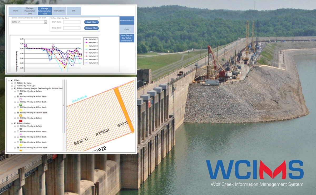
Geosyntec developed the USACE Innovation Award-Winning Wolf Creek Information Management System (WCIMS) to compile and manage data from this large and high-profile construction project.
Geosyntec Scope of Services
The Wolf Creek Dam is a high-profile dam owned by the United States Army Corps of Engineers (USACE) and managed by the USACE Nashville District.
The USACE and their primary construction contractor, the Treviicos-Soletanche Joint Venture (TSJV), require a method to synthesize the abundance of historical data available from previous investigations and construction activities, and new data collected during the ongoing construction and monitoring activities.
Geosyntec designed and implemented the Wolf Creek Information Management System (WCIMS), a workflow that allows automated and quality-controlled assembly of all site data. The WCIMS presents these data in web-accessible reports and two- and three-dimensional interactive tools built using geographic information systems (GIS) technology. At the heart of the WCIMS is a GIS Viewer, a free tool that shows site data in plan and profile views and provides access to data and reports associated with a feature simply by clicking on the feature. The Viewer and all other WCIMS tools are joined to an internet-enabled comprehensive enterprise database, allowing data to be both uploaded and viewed by users in remote locations (e.g., on-site, in the USACE District office, and anywhere else). A synchronization feature allows tools to be used offline when users want to assess project information during periods when the internet may be inaccessible.
Geosyntec’s deployment of the WCIMS allows owners and stakeholders in the Wolf Creek Dam Safety Rehabilitation Project to view the entirety of the site data in a single, geospatially accurate system. In this system, disparate data streams can be viewed in context and the safety and success of the construction can be measured with accuracy and quality.
Notable Accomplishments
Related Projects

JEA St. Johns River Power Park Area II Landfill
Jacksonville, Florida, USA

US Army Corps of Engineers
Tennessee River, Tennessee

River Birch, LLC
Avondale, Louisiana

USACE Norfolk District/Subcontractor to Burgess Construction
Fort Eustis, Virginia

Progress Energy Florida, now Duke Energy
Holiday, Florida, USA


