
Featured Projects
Read about our exemplary projects to learn how our consultants work across regions, practices, and markets to deliver exceptional solutions, without exception.


All Projects

Contaminated Sites
Design and Construction Services to Enhance an Existing Bedrock Groundwater Extraction and Treatment System
A release of gasoline from a buried transmission line led to the installation of a groundwater pump and treat system ...
Contaminated Sites
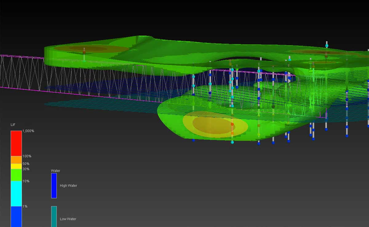
Active Rail Yard LNAPL Investigation and Remediation
LNAPL was seeping and discharging into a culvert structure that bisected an approximate 30-arce light non-aqueous phase liquid (LNAPL) body ...

Contaminated Sites
RCRA Facility Investigation at a Former Chemical Plant
A southeastern Massachusetts property is associated with a now-demolished chemical plant where a variety of industrial chemicals and pesticides were ...

Contaminated Sites
High Volume Sampling and Vapor Intrusion Mitigation Design for a Manufacturing Facility
In the early eighties, a manufacturing facility (Site) was found to be the source of trichloroethene (TCE) impacts to local ...

Contaminated Sites
Fractured Bedrock Characterization and Remediation at Former Fort McClellan
The former Fort McClellan in Anniston, AL served as a DOD training facility from 1917 until 1999. At the legacy ...

Contaminated Sites
Pitt-Consol Site Remediation
The site of this 36-acre property is a former coal tar processing facility that manufactured road tars, cresols, phenols, and ...

Contaminated Sites, Water and Natural Resources
Clifton Pier Environmental Remediation and Coastal Protection
Clifton Pier is an industrial area on the western side of New Providence Island which had been impacted by years ...

Geotechnical
DNAPL Impacted Fractured Limestone Aquifer Characterization & Remedial Design
A geologically complex site in Ireland required expert consulting services to address multiple liability issues, including the remediation of a ...

Environmental Management, Water and Natural Resources
Santa Ynez River Groundwater Basin Stakeholder Outreach and Engagement Well Data Collection and 3D Geologic Model
The Santa Ynez River Groundwater Basin (SYRGB or Basin) is comprised of three distinct Management Areas, the Western Management Area ...

Environmental Management, Water and Natural Resources
LNAPL Characterization and Off-site Stormwater Assessment
An active rail yard in Grand Rapids, Michigan has been used as a rail car storage and maintenance facility for ...

Environmental Management, Geotechnical, Water & Wastewater, Water and Natural Resources
Remediation and Other Environmental Services at the Northside Generating Station
JEA’s Northside Generating Station has supplied electrical power to the City of Jacksonville since the 1960s and currently operates three ...

Geotechnical
Geotechnical Laboratory Testing and Cone Penetration Test Processing
Vineyard Wind is among the United States' first utility-scale offshore wind farms. The wind farm will be constructed approximately 15 ...

Environmental Management, Geotechnical
Waterfront Toronto River Channel Risk Management Design and Construction Support
A clear example of our capabilities in transforming highly contaminated former industrial waterfront properties into a livable community with improved ...

Geotechnical
Ralph Wilson Park
Geosyntec is a member of the multidisciplinary Ralph Wilson Park (RWP) design team led by Michael Van Valkenburgh Associates, Incorporated ...

Geotechnical
Geotechnical Laboratory Testing, Cone Penetration Test Processing, and Reporting
Ocean Wind is New Jersey's first utility-scale offshore wind farm. The wind farm will consist of nearly 150 turbines and ...

Geotechnical, Water and Natural Resources
Offshore Cone Penetration Testing and Sampling Support
Ocean Wind is New Jersey's first utility-scale offshore wind farm. The wind farm will consist of nearly 150 turbines and ...

Waste Management, Water & Wastewater
Kpone Landfill Project
The Ministry of Sanitation and Water Resources of the Government of Ghana required the final closure of the Kpone Landfill, ...

Contaminated Sites, Water & Wastewater
Biogeochemical Analysis of Groundwater and Lake Water at a CCR Impoundment
Biogeochemistry, as it relates to CCR, affords a rich complement of reactions that can alter CCR chemistry in ways that ...

Water & Wastewater
Los Angeles River Master Plan
The Los Angeles River provides flood risk management for millions of Los Angeles County residents. In 1996, the Los Angeles ...

Water & Wastewater
Southeast Los Angeles Cultural Center
The San Gabriel & Lower Los Angeles Rivers and Mountains Conservancy (RMC) in partnership with the Los Angeles County Flood ...

Water & Wastewater
Rio Hondo Confluence Area Project
The Rio Hondo Confluence Area Project (RHCAP) is located in southern Los Angeles County, California, at the confluence of the ...

Water & Wastewater
Vapor Intrusion/Groundwater Investigation/Regulatory Support
Release of chlorinated solvents and hexavalent chromium (site COCs) in the 1980s led to a facility listing under the Ohio ...

Waste Management
In-Situ Remediation of Chlorinated Solvents at a Former Manufacturing Facility
This former computer hardware manufacturing and assembly facility is located on a twenty-six acre site. Impacted with multiple chlorinated volatile ...

Water and Natural Resources
Eielson Air Force Base PFAS Fate and Transport Simulation Model
The United States Air Force Civil Engineer Center (AFCEC) required the development of a base-wide groundwater hydrology model to evaluate ...

Environmental Management
Electrokinetic Enhanced Bioremediation (EK-BIOTM) Full-Scale Implementation for Source Area Remediation in Clay Till
A significant portion of the near-surface geology in Denmark includes glacial moraine deposits, much of which consists of clayey till ...

Water & Wastewater
Treatability Testing, Remedial Design & Remedial Action Former Camilla Wood Preserving
The wood preserving facilities at the 54-acre Camilla Wood Preserving Superfund site were active from 1947 to 1991. Facility operations ...
Civil Sites
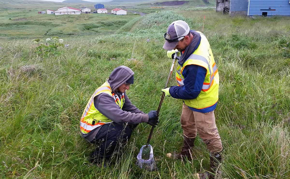
Atka Air Force Auxiliary Field FUDS Risk Assessment
The Atka Air Force Auxiliary Field Formerly Used Defense Site (FUDS) in Alaska was jointly used by the Army Air ...

Water and Natural Resources
Ryerson Creek Outfall Feasibility Study and Remedial Design
The Ryerson Creek Outfall (RCO) is the last remaining subarea in the Muskegon Lake, Michigan Area of Concern (AOC). Once ...

Air Quality
Investigation/Remediation/Closure for One Hour Dry Cleaners
SFI planned to redevelop the project site and surrounding vicinity with construction of 381 three-story apartment units and two retail/commercial ...

Environmental Management
Brownfield Redevelopment of a Former Rail Yard
Windsong Park, Inc. a (501(c)(3)) is redeveloping a former railyard in Florida. A sitewide remediation strategy was needed to convert ...


Hudayriyat Island East and Central
Hudayriyat Island is a reclaimed landmass adjacent to Abu Dhabi’s main island and occupies an area of approximately 29.6 square ...

Sir Bani Yas Island Breakwater
ATM, a Geosyntec Company, was engaged by National Marine Dredging Company (NMDC) to support them during the design and build ...

Lake Tahoe Pollutant Load Reduction Model
The California Regional Water Quality Control Board (Water Board) has designated Lake Tahoe as an Outstanding National Resource Water under ...

Port of Los Angeles Web Data Tools
The Port of Los Angeles (POLA) occupies 7,500 acres of land and water with 43 miles of waterfront. Over the ...

Underground Construction Information Management System for itmsoil
An underground construction information management system (UCIMS) was developed by itmsoil to monitor construction data from the new east–west rail ...

Evaluation of the Impact of Microplastics on Seed Germination and Plant Growth
Microplastic research has increased in the past decade, primarily focusing on aquatic environments. Recently, there has been a shift in ...

Risk Assessment of Potential Chemical and Microplastic Releases from Polymer Blend
A confidential federal client developed several new polymer-blend construction materials using virgin materials, with the goal of eventually manufacturing the ...

ITRC Microplastic Guidance Document Development
The Interstate Technology and Regulatory Council (ITRC) Microplastics Team, established in January 2021, brings together stakeholders to write and publish ...
